
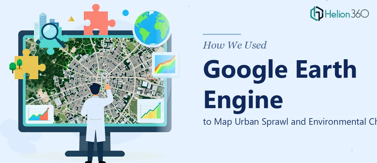
The Challenge of Large-Scale Satellite Data Analysis
Processing satellite imagery at scale is not simply a matter of downloading files and running a script. This project involved multi-temporal datasets spanning several years, requiring careful preprocessing, cloud masking, and spatial alignment before any meaningful analysis could begin.
The objective was to track urban expansion and environmental degradation across a defined region — a task that demanded both technical precision and a clear understanding of what the data needed to communicate. Without a structured workflow, the risk of misclassification or skewed change detection results was significant.
Our Analytical Approach
We built the entire pipeline around Google Earth Engine, which allowed us to process large image collections in the cloud without the bottlenecks that come with local processing. Python scripting handled automation across preprocessing, band selection, and output generation, while GDAL/OGR managed the more granular format and projection tasks.
Helion360 applied supervised classification to segment land cover into clearly defined categories — built-up areas, vegetation, bare land, and water bodies — across multiple time intervals. NDVI calculations were layered in to capture vegetation health and loss, providing a secondary dimension to the urban sprawl mapping.
Change detection was run between baseline and current imagery to quantify how much land had transitioned from one category to another, giving the client a measurable view of expansion trends and environmental impact.
Outputs and Deliverables
The final outputs included classified land cover maps for each time period, change detection overlays with area statistics, NDVI trend visualizations, and a structured research report tying the spatial findings to broader planning and monitoring implications.
Every deliverable was formatted for practical use — clear enough for non-technical stakeholders to interpret, and rigorous enough to support formal reporting. The client received both the processed spatial files and the documented methodology, making the work fully reproducible.
Working With Helion360
If your project involves geospatial data that needs to be turned into clear, decision-ready insights, Helion360 is ready to take it on. We have the technical depth and the analytical discipline to handle complex remote sensing work from end to end.