

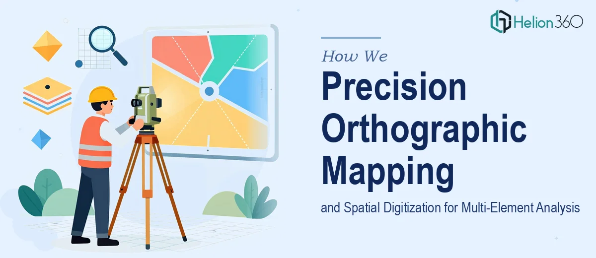
The Challenge
The client required accurate digital mapping of multiple spatial elements — including discrete areas, physical objects, and built structures — across a series of orthographic images. The complexity of the engagement lay in the sheer precision demanded: each element needed to be correctly identified, bounded, measured, and annotated within a consistent framework that could support downstream analytical work. Unlike standard image annotation tasks, orthographic mapping at this level requires an understanding of spatial relationships, scale consistency, and the ability to translate raw visual data into structured, measurement-grade output. The client also anticipated ongoing project volume, meaning the workflow needed to be both accurate and scalable from the first deliverable.
Our Approach
Helion360 began by establishing a clear digitization protocol aligned to the client's analytical requirements. Each orthographic image was processed systematically, with elements classified by type — areas, discrete objects, and structural features — before annotation work commenced. Spatial boundaries were drawn with precision using GIS-compatible tooling, ensuring that every mapped element carried accurate dimensional attributes and descriptive metadata. Where ambiguity existed in source images, the team applied contextual judgment informed by spatial analysis best practices rather than making assumptions that could compromise data integrity. Quality checks were built into each stage of the process, with annotated outputs reviewed against the original images before delivery to confirm boundary accuracy and completeness of coverage.
The Outcome
The engagement produced a fully annotated, measurement-accurate set of digitized orthographic outputs covering all assigned image sets. Every mapped element was accompanied by precise spatial descriptions, boundary coordinates, and dimensional data — ready for immediate use in analysis, reporting, or further GIS processing. The structured methodology developed during the project also established a repeatable workflow, positioning the client to scale future digitization tasks efficiently without sacrificing accuracy. The deliverables transformed raw orthographic imagery into clean, actionable spatial data that directly supported the client's analytical objectives.
Helion360 brings the same standard of spatial precision and analytical discipline to every data project — whether it involves image digitization, structured data processing, or multi-format visual analysis.