

The Challenge
A Silicon Valley-based startup needed to elevate the way they communicated land and site data to clients and investors. Their raw materials — topographic maps and on-site photographs — were technically accurate but visually inert, unable to convey the spatial depth, scale, or character of a real-world plot. The challenge was not simply to build a 3D model, but to extract meaningful spatial data from flat maps, reconcile it with photographic reference, and produce a rendering detailed enough to serve as a credible portfolio asset. The work demanded precision at every stage: misread contour lines, inaccurate texture mapping, or flat lighting would undermine the entire result.
Our Approach
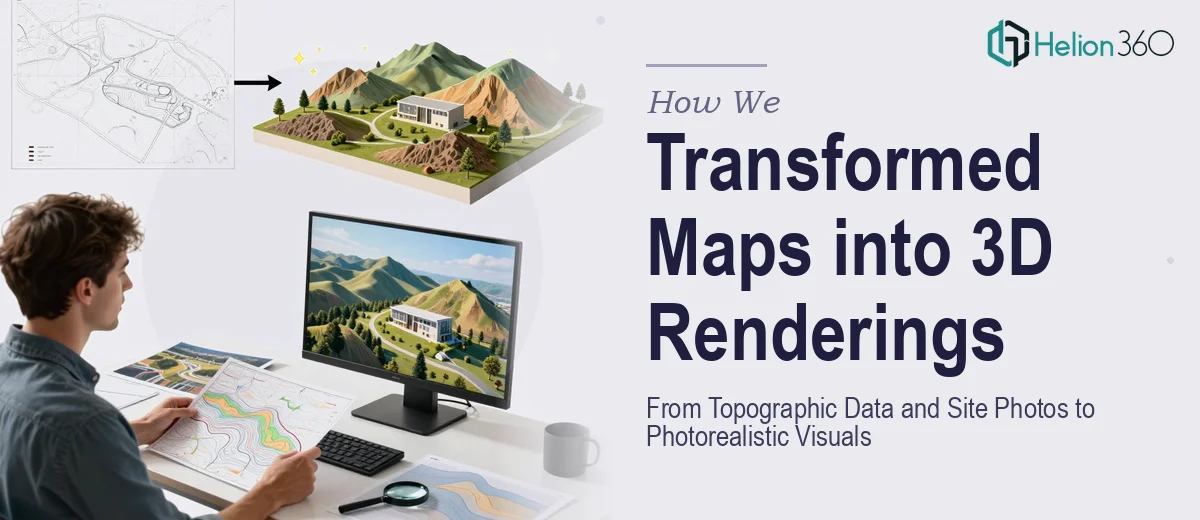
Helion360 began by conducting a thorough analysis of the provided topographic data, identifying elevation contours, gradient changes, and key terrain features that would define the three-dimensional form of the site. The topographic information was translated into a base mesh using professional 3D software, with geometry refined to reflect the real-world undulation of the land rather than approximated shapes.
Once the base terrain was established, the team cross-referenced high-resolution site photography to build accurate surface textures — matching ground cover, soil variation, and surrounding environmental context. Lighting was set up to simulate natural daylight conditions consistent with the site's geography, adding depth and realism to the final composition. Camera angles were chosen to maximise spatial storytelling, ensuring that each rendered view communicated both the plot's dimensions and its relationship to the surrounding landscape. Multiple render passes were composited to achieve a photorealistic finish suitable for client presentations and portfolio use.
The Outcome
The final deliverables comprised a set of photorealistic 3D renderings that faithfully represented the site's topography, texture, and environmental context. The startup received visuals that could stand alongside professional architectural and real estate imagery — dramatically enhancing the quality of their client-facing materials and investor presentations. What had previously been a collection of flat maps and field photographs became a compelling, three-dimensional narrative of the site, ready for use across pitch decks, portfolio documents, and digital presentations.
Helion360 brings the same level of craft and technical rigour to every spatial visualisation project — whether it starts from raw survey data, drone footage, or hand-drawn site plans.